
 Baku 22° C
Iranian Navy outlines new control boundaries in Strait of Hormuz
Region
- 04 May, 2026
- 14:08
Add Report.az to preferred Google sources
Stay up to date with the top news!
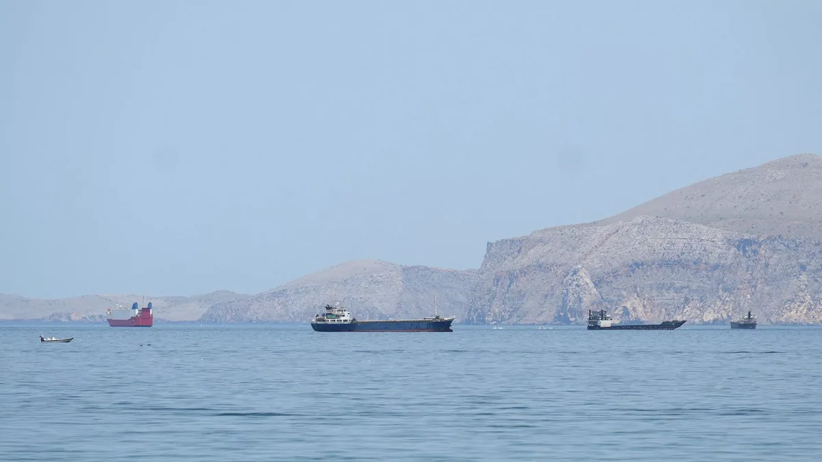
Iran"s military has outlined a control zone in the Strait of Hormuz, according to a map released by the naval forces of Iran"s Islamic Revolutionary Guard Corps (IRGC).
Report informs via Tasnim that the map reflects the "new boundaries of control and command of Iran"s naval forces in the Strait of Hormuz."
To the west of the strait, the zone is bounded by a straight line extending from the western tip of Iran"s Qeshm Island to a point east of the city of Umm Al Quwain in the UAE. To the east of the Strait of Hormuz, the zone is bounded by a straight line extending from the settlement of Kuh Mobarak in Iran to a point south of the Emirati city of Fujairah.
Author

İran Hörmüz boğazında yeni nəzarət sərhədlərini müəyyənləşdirib
ВМС Ирана обозначили новые границы контроля в Ормузском проливе


Latest News
15:18
EU establishes mission to support Lebanon's security forces
Other countries
15:10
Photo
Uzbekistan and Azerbaijan discuss trade and investment cooperation
Foreign policy
15:01
EU sanctions 1,569 Russian companies and their executives
Other countries
14:54
Azerbaijan's ambassador presents credentials to Hungarian president
Foreign policy
14:39
Photo
Cambodian prime minister pays tribute to Heydar Aliyev in Baku
Foreign policy
14:38
Aramco CEO warns 'squeeze on crude oil is serious'
Energy
14:34
Azerbaijani MFA congratulates Equatorial Guinea and Spain on national days
Foreign policy
14:23
OPEC cuts 2026 oil demand growth forecast to 400,000 bpd
Energy
14:12
Kyiv City Council member thanks Azerbaijan for energy support
Foreign policy