
 Baku 16° C
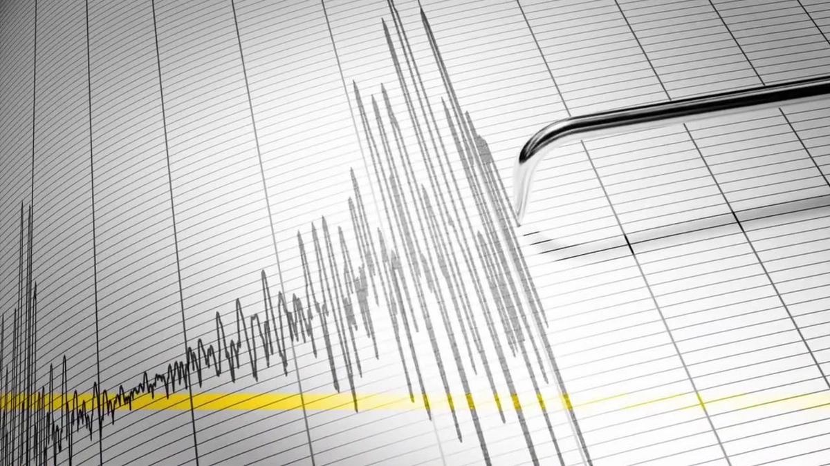
Earthquake maps under development for Lower Kura Depression
Education and science
- 28 January, 2025
- 09:42
Add Report.az to preferred Google sources
Stay up to date with the top news!
Initial maps are being prepared to investigate the link between earthquake sources and tectonic faults in the Lower Kura Depression area (Caspian Sea and coastal regions), as was reflected in the scientific and organizational activities report of the Republican Seismological Survey Center (RSSC) for 2024, Report informs.
Gurban Yetirmishli, the RSSC's Director General and corresponding member of Azerbaijan National Academy of Sciences (ANAS), noted that new approaches have been developed in collaboration with some foreign universities to calculate seismic hazards in Azerbaijan:
"Additionally, the 'Seismic Hazard Map of Azerbaijan' was presented and discussed."
Author

Aşağı Kür çökəkliyində zəlzələ ocaqlarının ilkin xəritələri hazırlanır
Разрабатываются предварительные карты очагов землетрясений в Нижнекуринской впадине


Latest News
14:30
NATO to discuss military aid for Ukraine amid delays in Patriot missile deliveries
Other countries
14:21
Hollywood star of 1960s Elke Sommer dies at 85
Other countries
14:15
Azeraluminium's export revenues surge by nearly 60%
Industry
14:10
Mahmoud Abbas arrives in Cyprus for talks with Christodoulides
Other countries
13:55
Russian strike on railway station in Dnipro kills 13
Other countries
13:47
Taleh Kazimov: Number of depositors and bank deposits growing in Azerbaijan
Finance
13:41
Kazimov: CBA to support banking sector consolidation if pursued next year
Finance
13:34
AzerGold's export revenues rise by more than 31%
Industry
13:31
Pashinyan: Armenia's Declaration of Independence has an anti-state character
Region